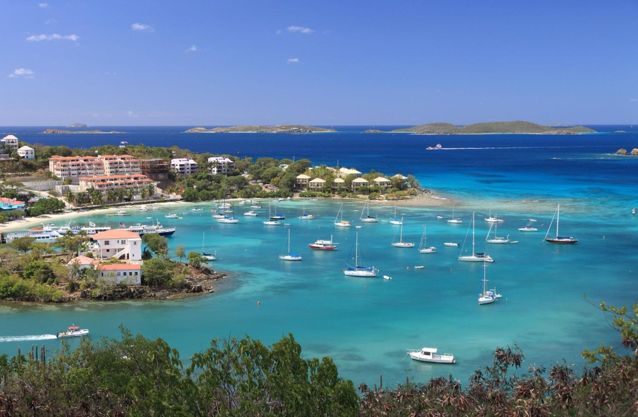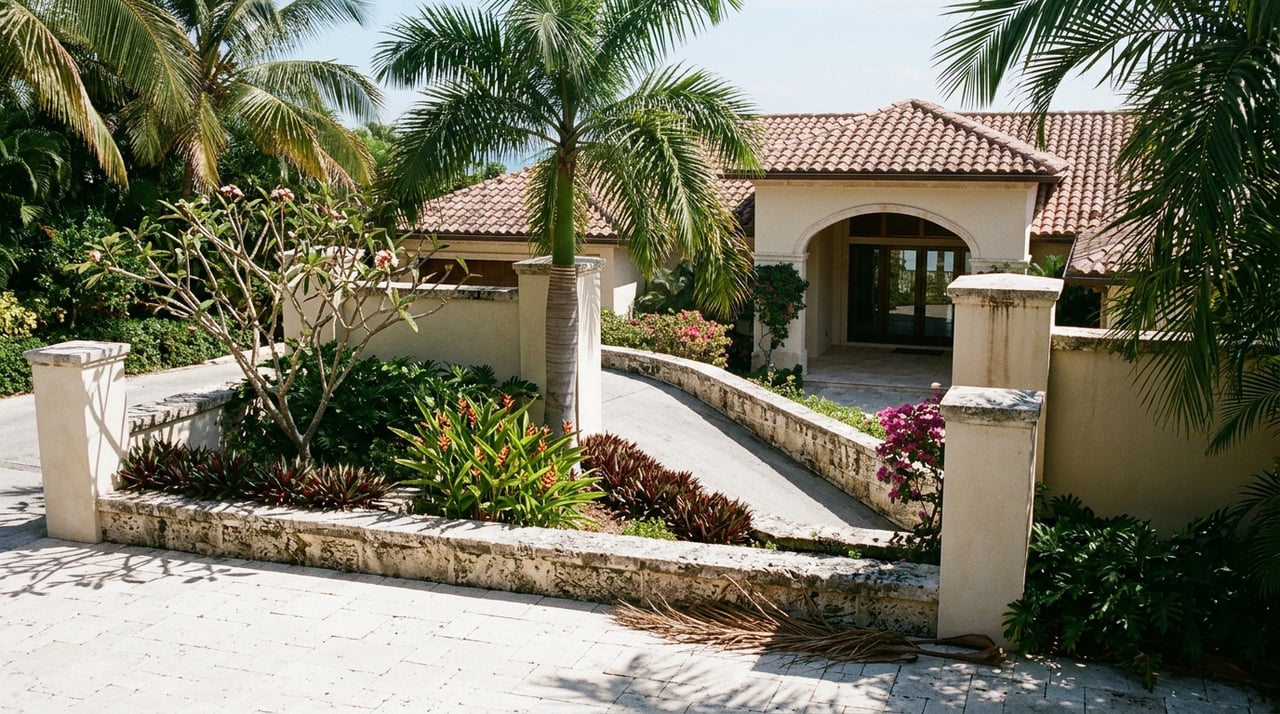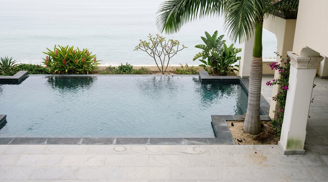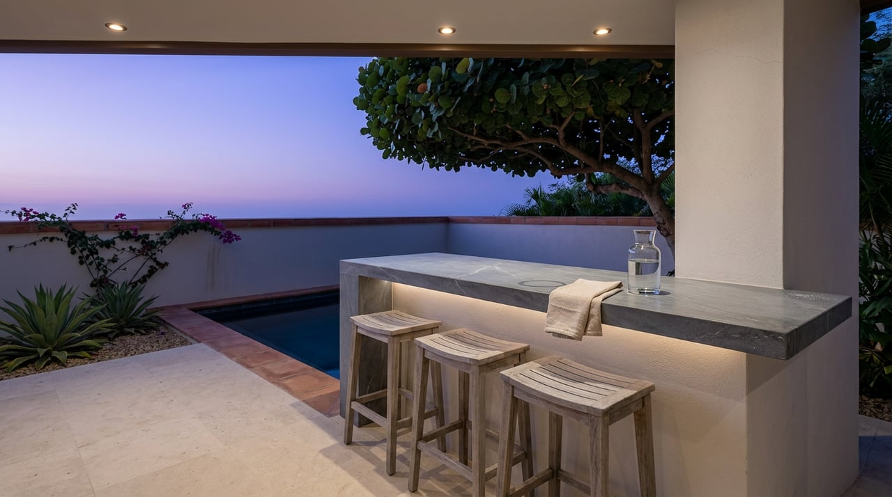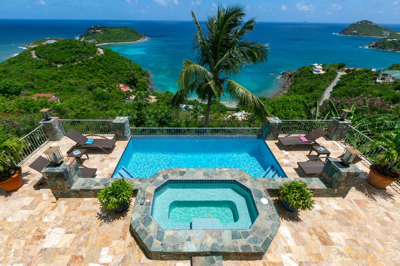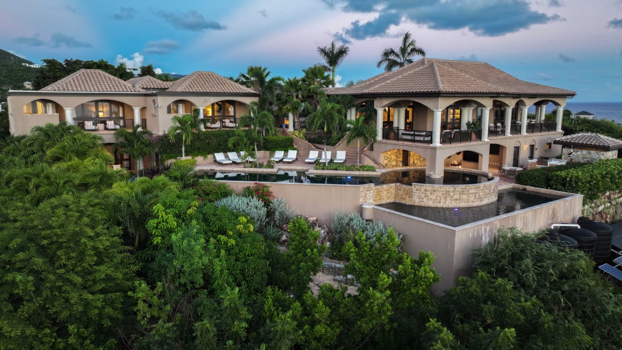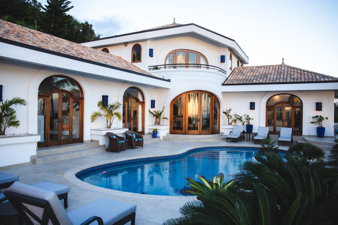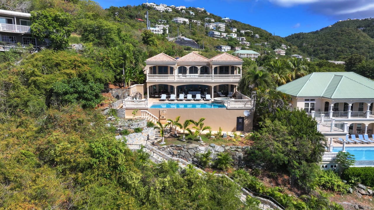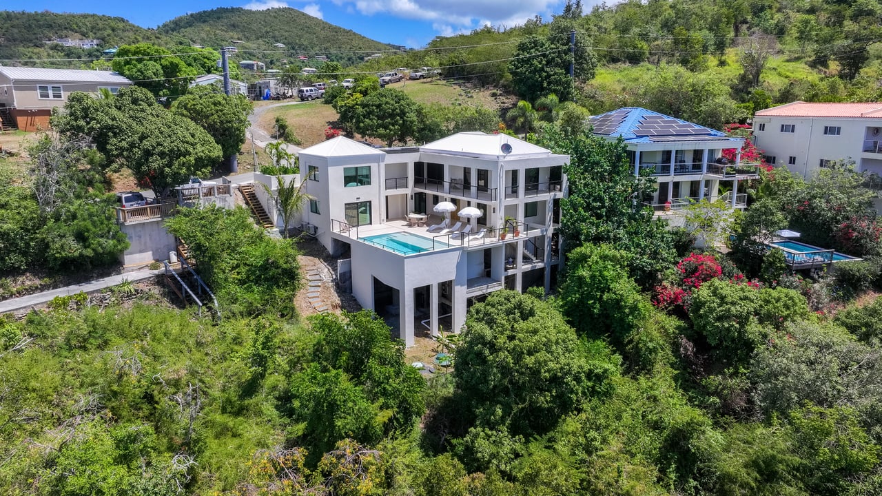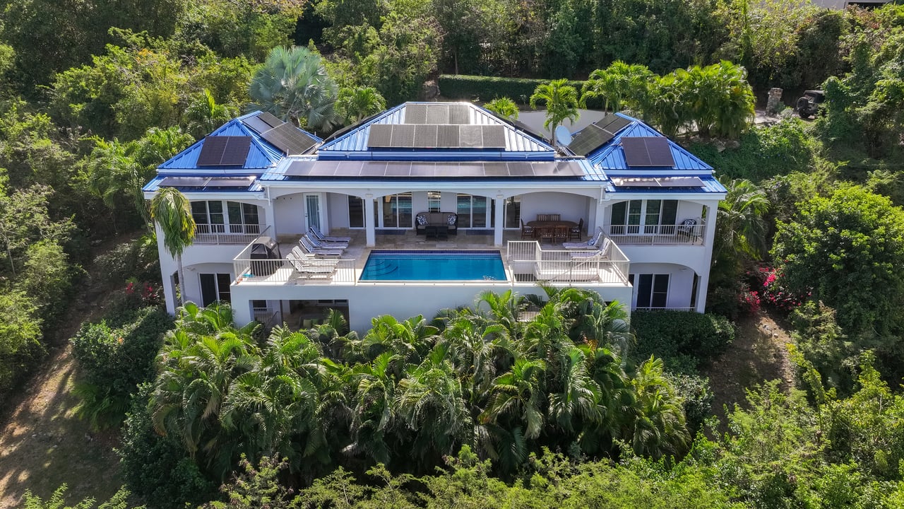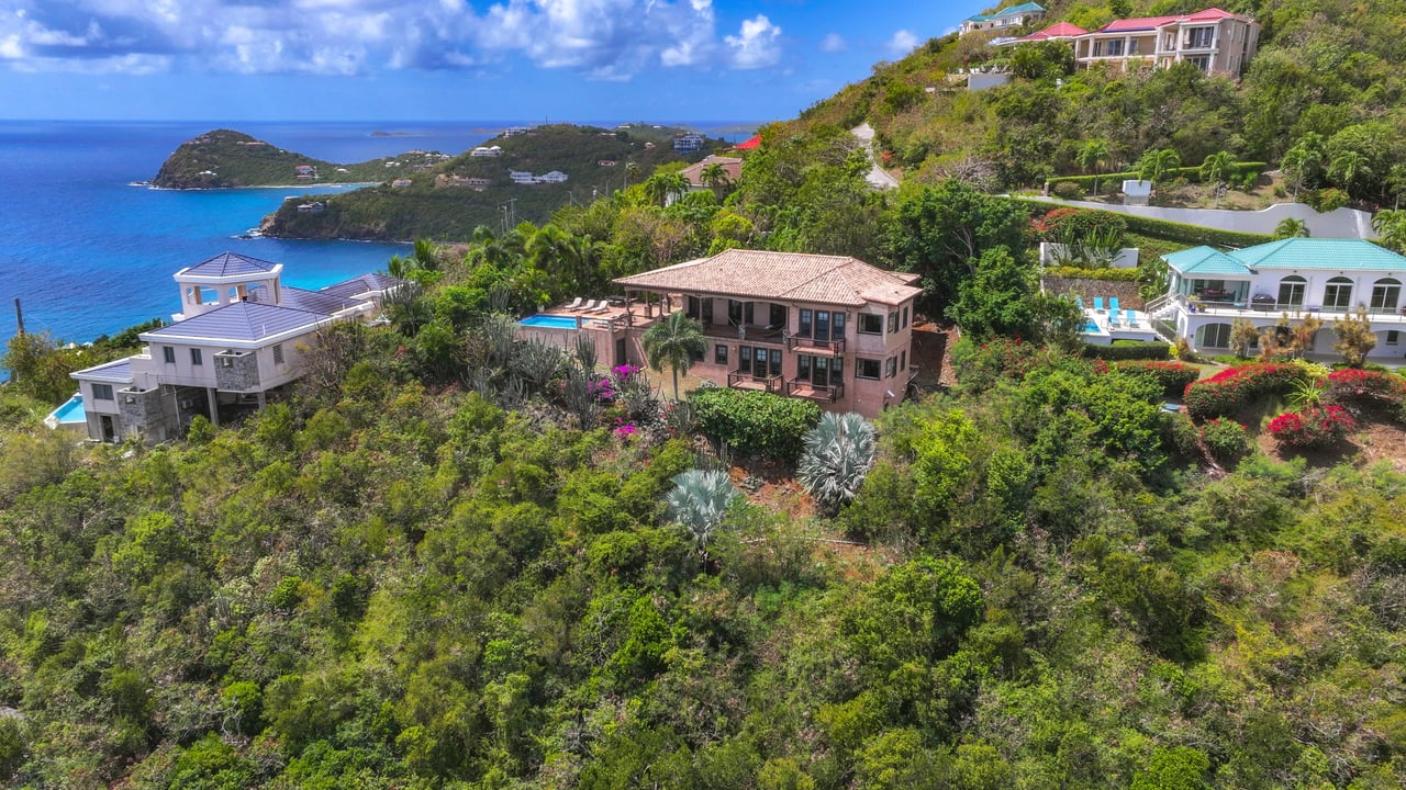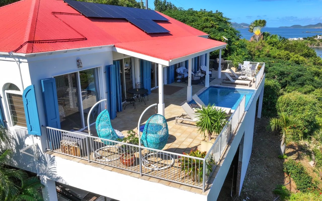
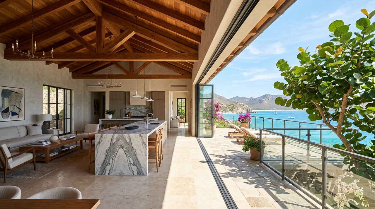
Every villa description for Peter Bay repeats the same line, almost word for word: this is one of the few stretches of St. John's North Shore that was never deeded into Virgin Islands National Park, which is why the beach in front of these homes still belongs to the owners instead of the public. It is true, and it is the single biggest reason the enclave commands the prices it does. What none of those listings mention is that "belongs to the owners" does not mean the same thing from one villa to the next. Two beachfront parcels a hundred yards apart can carry two different easement widths, decided not by a homeowners' vote but by a federal appeals court, and the difference traces back to a family land dispute that started before most of the current villas existed.
If you are comparing specific Peter Bay listings rather than just touring the neighborhood, that distinction is worth understanding before you assume any two "private beach" properties are legally interchangeable.
The Farm Behind the Name
Peter Bay sits on what was originally called Peter Farm, 50.82 acres on St. John's North Shore between Trunk Bay and Cinnamon Bay. In 1970, an heir named Lillian Harthman Cheng filed suit to partition the land among six family heirs. The case, Harthman v. Harthman, was decided in 1975 by Judge Warren Young, who split the farm into 17 distinct parcels and, because several of the new lots had no direct beach frontage, ordered a shared beach easement across the waterfront parcels so every heir could still reach the water.
That single sentence in a 1975 partition decree is the reason the beach easement question exists at all. It is also where the ambiguity started, because the decree described the easement as running to the "berm line," the natural vegetation edge, while a survey map drawn up afterward to record the decision showed a flat 50 feet inland instead. Those two descriptions do not always land in the same place on the sand, and for about a quarter century, nobody in Peter Bay had to care which one controlled.
One Decree, Two Kinds of Deeds
The developer of Peter Bay Estate, St. John Land Investment Partnership, bought several of the 1975 parcels from Harthman heirs and imposed a new layer of restrictions on top of them: a Declaration of Protective Covenants meant to set uniform standards for every lot the developer resold. Other parcels, though, passed directly from the original heirs to new owners without ever going through the developer or its covenants.
That fork in the title chain is what a 2002 Third Circuit ruling in Peter Bay Homeowners Association v. Stillman ended up resolving, parcel by parcel, after a District Court fight that ran from 1997 to 2001 and included a bench trial just to decide whether the statute of limitations had already run out. The court's conclusion was that the two kinds of deeds carry two different easements:
| Parcels | How title was conveyed | Beach easement established by the courts |
|---|---|---|
| 1, 2A, 2B, 13A | Sold by the developer and bound by the Peter Bay Protective Covenants | A flat 50 feet inland from the low-water mark |
| 10A | Conveyed directly from a Harthman heir, outside the Protective Covenants | Vegetation berm line only, which can run narrower than 50 feet |
| 16 | Retained by an original Harthman heir since the 1975 decree | Vegetation berm line only, per the decree itself |
| 3 | Covenant-bound, but excluded from the ruling | Not applicable, since the parcel has no beach frontage |
The court's reasoning matters as much as the outcome. It found that the original 1975 decree only ever intended a berm-line easement, and that a later survey map showing a flat 50 feet was simply drawn in error. Parcels that trace straight back to the Harthman family inherited the narrower, original easement. Parcels the developer resold under its own covenants picked up the wider 50-foot easement as a separate obligation, layered on top of the same land years later.
What the Difference Actually Buys You
Fifty feet of beach easement and a berm-line easement are not a rounding error. On a narrow strip of North Shore sand, that gap can be the difference between a usable stretch of private beach and a sliver that other Peter Bay owners have a documented right to walk across for most of its width. A villa on Parcel 1 or 2A carries a wider, court-confirmed easement obligation than a villa on Parcel 10A or 16, even though both might be marketed with identical language about private beach access.
This is not a defect in the neighborhood. Peter Bay's HOA and its covenants exist precisely to keep the enclave functioning as one cohesive community rather than 17 unrelated lots, and the shared easement is part of how every owner, regardless of which parcel they hold, keeps access to the water. What it means for a buyer is that the marketing copy and the actual recorded burden on a specific parcel are two different documents, and only one of them is enforceable.
The HOA Is Doing More Than Collecting Dues
Peter Bay's homeowners association fees run higher than in most other parts of St. John, and they cover the maintenance of the private paved roads, the gated security system, beach path upkeep, and common area landscaping, according to the neighborhood's own buyer guidance. Specific rates vary by property size, which is one more reason to get current figures directly rather than assume a number from an old listing. The HOA also sets rules for how vacation rental guests use the shared beach path, since many Peter Bay villas operate as high-end rentals and the neighborhood works to keep that traffic respectful of what is still, at its core, a quiet residential enclave with no stores, bars, or restaurants inside the gates.
None of that changes who holds what easement on which parcel. The HOA manages the shared infrastructure around the beach. The 2002 court ruling governs the legal width of the path across any individual lot.
The Park Cuts Both Ways
Peter Bay's other defining fact is its neighbor. The community is bordered by Virgin Islands National Park land on nearly every side, which is exactly why the view will never change and why a renovation or new build here runs into a different level of scrutiny than it would elsewhere on the island. Projects near the park boundary are subject to environmental and coastal zone review specifically because of that adjacency. It is the same proximity that makes the setting feel permanent, and the same proximity that adds a layer of process to any expansion or rebuild.
Why This Matters More in 2026 Than It Used To
Heading into 2026, St. John's broader residential market recorded total sales volume of about 79.5 million dollars, in conditions local brokers describe as highly competitive with strong interest across price categories, even as many mainland U.S. markets swung through post-pandemic price corrections. Competitive conditions tend to push buyers toward faster decisions, and faster decisions are exactly when a detail like parcel-specific easement history gets skipped rather than confirmed. A beach easement that took a federal appeals court to sort out in 2002 is not the kind of thing a standard listing sheet flags, and it is not the kind of thing most buyers think to ask about when a villa they love comes on the market in a tight window.
What to Ask Before You Write an Offer
- Ask your title company or attorney which parcel number the property sits on and whether that parcel's deed traces back through the developer's Protective Covenants or directly from an original Harthman heir.
- Request the specific survey map referenced in the deed, since the difference between the 1975 decree's berm-line language and the later 50-foot survey map is exactly what the Third Circuit had to untangle.
- Confirm current HOA dues and what they cover for that specific property, since fees can vary by lot size.
- If a renovation or expansion is part of your plan, ask early about coastal zone review given the property's boundary with the National Park.
A Few Questions Buyers Ask
Does this affect every beachfront parcel in Peter Bay? No. The 2002 ruling applied to specific parcels named in the litigation. Every deed still needs to be checked individually, since title history rather than location within the enclave is what determines the easement.
Is this kind of parcel-by-parcel easement history unique to Peter Bay? The specific dispute is unique to Peter Bay's 1975 partition, but the underlying lesson, that a subdivision's early legal history can still shape individual title rights decades later, is worth checking on any older St. John gated community with a similarly long ownership chain.
Does the easement affect vacation rental use of the beach? The court case addressed access rights among Peter Bay owners rather than rental operations directly. Owners renting out Peter Bay villas should still confirm current HOA guest-access rules alongside the parcel's recorded easement.
Peter Bay's private beach is real, and it is still one of the most compelling reasons to own on this stretch of the North Shore. It is just not one uniform right shared equally by every lot behind the gate. If you are looking at a specific villa here and want someone who already knows which questions the title chain needs answered, Bonvi Hospitality Group can walk the parcel history with you before you write an offer. Let's Connect.