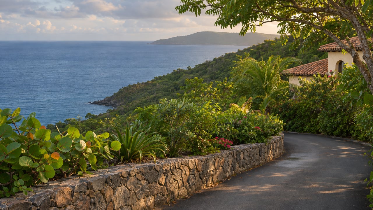
At the entrance to The Westin, a new green sign now reads Bay View Terrace. A little closer to town, the turn beside the E-C gas station is labeled Road of Regiment. The road up to Starfish Market is Starfish Way. The road to the Animal Care Center is Boynes Street, and the road beside Pine Peace Market is Third Street. In the first week of October, a crew put these signs up from the Cruz Bay roundabout area down to Rendezvous Bay, according to ExploreSTJ. Jenn Manes, who writes the site, saw the first ones when she got home on a Monday and watched a crew installing more the next afternoon.
For anyone living past Great Cruz Bay toward Klein Bay and Ditleff, the signs feel brand new. The names on them are not. Most roads on this stretch of the south shore have had official names for years, recorded on a government register and given street numbers under a system St. John finished before any other island in the territory. The signs simply make that system visible.
St. John Finished Its Map First
The signs belong to the Street Addressing Initiative, which the Office of the Lieutenant Governor leads. Agencies across the Virgin Islands Government work on it, including the Tax Assessor, GIS, Public Works, WAPA, Historic Preservation and VITEMA's E-911 service, along with the University of the Virgin Islands' Eastern Caribbean Center. The program's stated goal is a street address for every home, business and building in the territory.
St. John got there first. In August 2025, the St. Thomas Source reported that 97% of St. John's roads and addresses were complete. At the same point, just over 70% of named roads across the whole territory had been addressed. Lt. Gov. Tregenza A. Roach called St. John "the first island with a total urban and rural grid." Chris George, the GIS director, said the data was being sent that week to Google, Apple Maps and Esri, and to agencies such as Public Works, the Department of Health and 911.
Signs came last. The initiative's project-status page shows the St. John residential-signage contract was received on October 15, 2025, which puts this month's installation almost exactly a year after the contract. In August 2025, when St. John's sign contracts were still at the execution stage, the Source reported that every intersection on St. John would get a street-name sign, and that two illuminated highway signs were planned for Gifft Hill and Bordeaux Mountain. Officials gave summer 2026 as the target for finishing the whole project, signs included. One of the signs ExploreSTJ photographed this month stands at the corner of Gifft Hill Road and the road to Fish Bay.
The Names Already on Record Around Rendezvous Bay
The territory's register of named St. John streets, labeled "rev. 3-2022," groups roads by estate area. Under Rendezvous & Ditleff it lists eight.
| Road name on the register | Abbreviation as listed |
|---|---|
| Boatman Point Road | BOATMAN POINT RD |
| Klein Bay Road | KLEIN BAY RD |
| Marina Drive Extension | MARINA DR EXT |
| Monte Bay Road | MONTE BAY RD |
| Opan Turtle Point | OPAN TURTLE PT |
| Peregrine Terrace | PEREGRINE TER |
| Point Rendevous | PT RENDEVOUS |
| Shore Drive | SHORE DR |
The register spells the seventh entry "Point Rendevous," without the z. If your road is one of these, expect that spelling on official records until someone changes it.
The register files the neighboring roads toward Chocolate Hole under that estate. Among them are Bovacap Road and Bovacap Point Road, Great Cruz Bay Road, Great Sunset Drive, Maria Bluff Road, Sea View Terrace, Tamarind Road and Tamarind Road West, Hummingbird Way, Laughing Gull Road and Iguana Road. The main road through the area is listed as Rudolph A. "Pimpy" Thomas Jr. Road, also known as Southside Road. The register is a 2022 revision, so it shows the names on file at that point. Whether a sign carrying a given name already stands at your intersection is something you can only check by driving past.
Why the New Number Doesn't Look Like Your Plot
The Lieutenant Governor's FAQ answers one question again and again: why the new address number is so high and so unlike the plot number. Each island has two starting points for numbering. On St. John they are Cruz Bay and Coral Bay. Numbers are low in town and get higher the farther a building is from its starting point. A house near Klein Bay will have a larger number than a shop off Boynes Street because it sits farther down the south shore from Cruz Bay.
Plot numbers stay. The FAQ explains that they were assigned whenever an estate was subdivided or re-subdivided, so they never followed the roads in any logical order. They will still serve as property identifiers. They just won't work as addresses. The FAQ also says your existing PO Box or other mailing address stays the same.
Street names follow the same principle. Wherever a street already had an official name in use, the initiative kept it. Many roads never got an official name when they were built, and for those the team said it would work with neighborhood groups and homeowners' associations to choose one. A small number of duplicate names had to change. Once you have a number, the FAQ says to post it on the front of the house where it can be seen from the street. The project team says it passes each new address to WAPA, Innovative, VITEMA/E-911 and the U.S. Postal Service.
The Tamarind Tree Keeps Its Place
Manes summed up the old system in one line. Here, she wrote, giving directions is "more like take a left at the giant tamarind tree" than turning onto a named lane. Lt. Gov. Roach described the same habit at the August 2025 press conference covered by the St. Thomas Source:
"That might be nice from a cultural standpoint, because it helps you to identify landmarks. If somebody references a point by a landmark, now you learn a landmark. But it is not the most efficient means of getting somewhere, especially if there's a person waiting for assistance."
He also presented the naming process as a way for neighborhoods to record their own history, "people who lived here, events that took place here." He gave the example of a road named for a neighbor who used to help children cross the street safely on their way home. On the register, Rudolph A. "Pimpy" Thomas Jr. Road through Chocolate Hole is one road that already carries a person's name.
Finding Your Address, or Naming a Road That Has None
For anyone on Klein Bay Road, Shore Drive or a driveway that still feels nameless, the public tools are already online.
- Look up the address. The Lieutenant Governor's GIS program links to the USVI MapGeo viewer. The viewer has a Quick Search box and an "SAI Addresses" layer. The viewer itself warns that its information may not be current and should be checked independently.
- Check the name against the register. Compare what MapGeo shows with the Rendezvous & Ditleff and Chocolate Hole entries above, spellings included.
- Propose a name for an unnamed road. The initiative's street-naming page asks residents to take part. It offers a road-name request form and a map-based way to submit, and says names can reflect cultural, scenic, environmental, historical or local character.
- Talk to the neighbors first. Roach described the process this way: you get a form, talk with the property owners on the road, and once a certain percentage agree, the name is added. A road the Legislature has already named can only change through a petition to the Legislature.
In her October 7 post, Manes wrote that she was heading to Coral Bay later that day and would report back on whether signs were going up there too. For now, the confirmed run of new signs ends at Rendezvous Bay, where the 2022 revision of the register lists Klein Bay Road, Boatman Point Road and Point Rendevous.
If you own a villa in Rendezvous, Ditleff or Chocolate Hole and want to update your guests' arrival directions with the new road names, keeping the tamarind tree in as a backup, the team at Bonvi Hospitality Group would be glad to help. Let's Connect.